MAGNET Field
Improve Efficiency With a Complete Field-to-Office Solution
Seamlessly Collect and Share Field Data
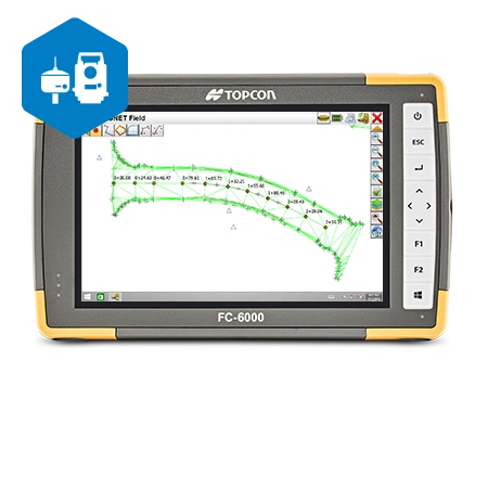
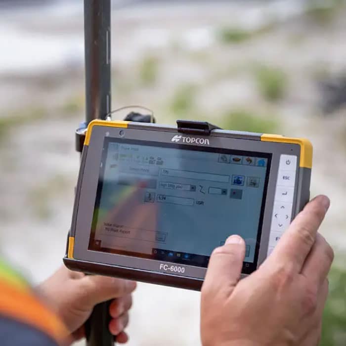
Never miss a beat with MAGNET Field, a highly productive and accurate field-to-office software. This surveying and construction solution combines a military-grade field controller with intuitive software that enables your team to work faster and smarter. Collect, access, and share data with your team via the cloud no matter their location – bridging the gap between remote, office, and field teams.

Expedite Your Construction or Field Surveying Process
The MAGNET Field allows you to store and choose your favorite configurations, saving you setup time with each new project. With automatic Digital Terrain Model creation, you can quickly tackle point collection, surface staking, building layouts, and land surveys. Work directly from Microsoft Bing Maps and pull real-time images for your imported designs, points, and lines. Edit data while in the field, and sync data with the other software you use most.

Key Features of MAGNET Field
- Roading toolset
- Automatic Digital Terrain Model creation
- Colorized cut-and-fill indicator and volume calculations
- MAGNET Enterprise field-to-office cloud connectivity
- Intuitive interface
- Military-grade field controller
- Top-of-the-line 2D, 3D, and BIM file format library
- Access to Microsoft Bing Maps

Simplify Your Data Collection Process With GPS Alaska
Our goal at GPS Alaska is you provide you with the tools to complete your best and fastest work. MAGNET Field is the key to keeping your field and office teams collected while providing a suite of intuitive tools that allow you to easily collect, edit, and share data points. Contact GPS Alaska to learn more about the MAGNET Enterprise and how MAGNET Field can streamline your workflow.
